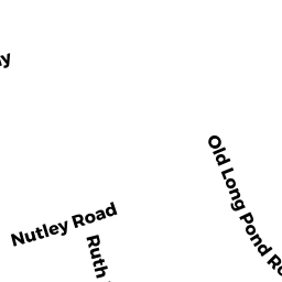
1663 LONG POND ROAD
Owner Information
KAVANAUGH MAUREEN F
1663 LONG POND ROAD
BREWSTER, MA 02631


Property Details
1663 LONG POND ROAD is classified as a Single Family Residential (Cape).
The primary structure on this property was built in 1983. There are 1,152ft2 of built area within this property. There is 1,152ft2 of residential/living space within this property. This property is listed as having 6 rooms.
1663 LONG POND ROAD is valued at $333,600. The land is valued at $119,300 and the structures are valued at $212,500. There is an additional valuation of $1,800 on this property.
This property is in Zone RL. Confirm with local Zoning Board authorities to ensure there are no overlays or other easements on this property.
The most recent deed for 1663 LONG POND ROAD is recorded at the local registrar in Book 12247, Page 155. 1663 LONG POND ROAD was last sold on Tuesday, May 4, 1999 for $142,000.
Assessment data from fiscal year 2022.
Flood Data
According to the FEMA National Flood Hazard Layer, this property does not appear to be in a flood zone. It may also be in an area not yet reviewed. Nonetheless, confirm this information prior to taking any action.
To view the flood hazards around this property, create a FEMA "Firmette" Map of the area around 1663 LONG POND ROAD.
Broadband Internet Providers
| Provider | Type | Bandwidth (mbps) | |
|---|---|---|---|
| HughesNet | Satellite | 25 | 3 |
| GCI Communication Corp. | Satellite | 0 | 0 |
| Comcast | Cable | 1000 | 35 |
| Viasat Inc | Satellite | 35 | 3 |
| Verizon New England Inc. | DSL | 5 | 0 |
| VSAT Systems, LLC. | Satellite | 2 | 1 |
Broadband service provider data from December 2020.
Adjacent Properties
- 1653 LONG POND ROAD
Single Family Residential owned by CARROLL MATTHEW J - 50 TWINTURN DRIVE
Single Family Residential owned by MAYHEW BENJAMIN C & LISA A - 1675 LONG POND ROAD
Single Family Residential owned by LOZANO LUIS J & MARY ANN CO-TRUSTEES - 0 LONG POND ROAD
Vacant, District (County) owned by BREWSTER TOWN OF